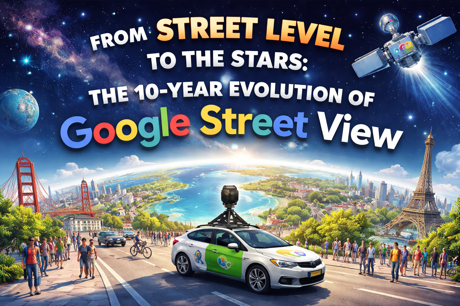
1. The “Ingenious Idea”: Mapping the World in 360 Degrees
The story of Google Street View didn’t start with a car; it started with a question. Google co-founder Larry Page had what he called an “ingenious idea”: what if we could experience a map at eye level, in full 360-degree detail, rather than just looking at a flat grid?
To build this, the team looked toward technology originally designed for a very different purpose. In 2004, Google acquired Keyhole, a visualization company that had received significant investment from the CIA. While this software was originally rooted in the world of intelligence and surveillance, Google wanted to repurpose it for the public. They combined this with a desktop program from an Australian startup called Where 2 Technologies to create the foundation of what we now know as Google Maps. In May 2007, Street View officially launched, bringing digital mapping down to the pavement.
Fast Fact When Street View launched in May 2007, it featured only five U.S. cities. Today, the service is used by over a billion people and covers 83 countries across every continent.
The “So What?” of the Eye-Level Shift Before Street View, digital maps were “top-down” views, mostly constructed from satellite imagery. While helpful for directions, these views were detached from the human experience—they were maps for planners, not for people. The shift to eye-level mapping changed how we interact with the unknown. Suddenly, you could virtually “walk” a neighborhood before moving there or inspect a storefront from thousands of miles away. It turned the digital map from a navigation tool into a mirror of our physical reality, but as we’ll see, that mirror eventually started reflecting things people didn’t want the world to see.
——————————————————————————–
2. Adventure Mapping: Camels, Snowmobiles, and Trekkers
Google quickly realized that the world doesn’t just consist of paved roads. To fulfill the promise of “global accessibility,” the team had to find ways to reach places where no car could go. A map is only truly global if it includes the fragile, remote, and unconventional parts of our planet.
| The Environment | The Creative Solution |
| Sandy Deserts | Camels fitted with camera rigs to navigate dunes without disturbing the sand. |
| Arctic Tundra & Snowy Peaks | Snowmobiles equipped with specialized 360-degree cameras. |
| Narrow Alleys & Footpaths | The “Trekker”—a wearable camera backpack for hikers and pedestrians. |
| Under the Ocean | Specialized underwater cameras taking shots every 3 seconds at the Great Barrier Reef. |
| Off-Planet | High-resolution internal imagery of the International Space Station (ISS). |
| Cultural Heritage Sites | Specialized tricycles and carts for pedestrian-only museum paths and plazas. |
Why “Adventure Mapping” Matters By sending cameras into volcanoes in Vanuatu or onto the back of a camel in the Arabian Desert, Google made the world’s most remote locations accessible to anyone with an internet connection. This inclusivity helps us understand the diversity of our planet, but it also creates a new ethical question: does “mapping the world” mean the tech giants have a right to go everywhere? As the cameras moved from the wilderness and back into crowded neighborhoods, the public’s reaction shifted from wonder to worry.
——————————————————————————–
3. The Privacy Puzzle: Germany and the “Pixelating” Controversy
While many countries viewed Street View as a convenience, Germany became the center of a major ethical resistance. This clash was fueled by a phenomenon known as “Verpixeln” (pixelating).
The friction was caused by the very design of the technology. Initially, Street View cameras were mounted at a height of 2.9 meters (about 9.5 feet). This allowed the “all-seeing eye” to look over the hedges and walls that citizens had built specifically to protect their privacy. This triggered three major concerns:
- Digital Trespassing: The cameras captured views into private backyards and upper-story windows that a human neighbor standing on the sidewalk could never naturally see.
- Exposure of Sensitive Moments: People were caught in moments they assumed were private—leaving adult bookstores, protesting at sensitive clinics, or simply sunbathing in their own yards.
- “Wardriving” Data Collection: During its rounds, Google admitted it had inadvertently collected data from unencrypted Wi-Fi networks, a move that led to significant legal fines.
The “So What?” of Cultural Resistance Why was Germany so much more resistant than other nations? The answer lies in its history. Having lived through the era of the Stasi and the Gestapo, many German citizens possess a deep, cultural memory of state surveillance. For them, a car with a 9-foot camera wasn’t just a map tool; it felt like a return to a world where someone was always watching. In response, Google was forced to adapt, eventually lowering camera heights to 2.05 meters (about 6.7 feet) in places like Japan and Germany to act more like a “human neighbor” and less like a surveillance tower.
——————————————————————————–
4. Borders and Barriers: Security Concerns in India
The friction between technology and society isn’t always about personal privacy; sometimes, it is a matter of life and death. In India, the government has long struggled to balance the benefits of mapping with national safety.
In 2011, local police in Bangalore blocked Street View, fearing that high-resolution data could be used by “bad actors” to plan attacks. While the service was finally allowed into major cities like New Delhi and Mumbai in 2022, the dangers of digital mapping became tragically clear in 2024.
“There is a fear among security advocates that high-resolution, street-level data could be misused for planning attacks on sensitive areas… the map itself can become a weapon if the data is inaccurate or misused.”
In a heartbreaking 2024 incident in Bareilly, India, three men died after their car fell from an under-construction bridge while they were following directions on Google Maps. Because the digital map hadn’t been updated to show the bridge was incomplete, and because there were no physical barricades, the technology led them directly into the Ramganga River.
Security vs. Privacy: The Comparison For students of ethics, this is the ultimate lesson: public resistance to technology isn’t always about “hiding things.” In Germany, the resistance was about individual privacy (the right to be left alone). In India, it is often about public safety (the responsibility to prevent harm). Technology is a double-edged sword; the same tool that helps a tourist find a restaurant can, if inaccurate or misused, lead a driver into a river or help a criminal map a target.
——————————————————————————–
5. Conclusion: A Decade of Lessons Learned
Over its first decade, Street View evolved from a daring experiment into a global utility. But that growth came with a cost. Google had to learn—often through lawsuits and national bans—that being a “global” company requires being a “local” neighbor. They had to implement automated blurring of faces and license plates and lower their cameras to respect physical barriers like fences.
As we move into the era of AI-powered mapping, the lessons of the past ten years provide a vital guide for how we should build the future.
The Learner’s Takeaway: 3 Rules for Future Tech Creators
- Avoid Digital Trespassing: Respect the intent of a boundary. If a person builds a fence, they are signaling a desire for privacy. Technology should respect that boundary, not look over it.
- Respect Cultural Memory: A tool that feels helpful in California might feel like a threat in Berlin. Always consider the historical and cultural context of the people you are mapping.
- Prioritize Data Integrity: Accuracy isn’t just a feature; it’s a safety requirement. When digital data directs physical movement, errors can have life-or-death consequences.
Digital mapping has the power to illuminate the world, but as we explore from the streets to the stars, we must remember that the most important part of the map is the human being living on it.
Leave a Reply